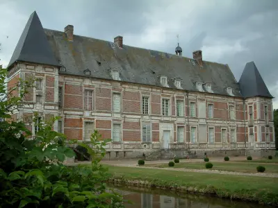
The Notre-Dame, built of stone and flint, was restored in the 19th century.


Favourite
| Municipality | Offoy |
|---|---|
| Postcode | 60210 |
| Latitude | 49.6968699 (N 49° 41’ 49”) |
| Longitude | 2.0385589 (E 2° 2’ 19”) |
| Altitude | From 113m to 182m |
| Surface area | 4.20 km² |
| Population | 119 inhabitants |
| Density | 28 inhabitants/km² |
| Prefecture | Beauvais (39 km, 45 min) |
| Insee code | 60472 |
| Intercommunality | CC de la Picardie Verte |
| Department | Oise |
| Territory | Picardy |
| Region | Hauts-de-France |
| Thoix | 2.2 km (3 min) |
|---|---|
| Dargies | 3.9 km (6 min) |
| Courcelles-sous-Thoix | 4.8 km (7 min) |
| Beaudéduit | 5.2 km (11 min) |
| Lavacquerie | 6.2 km (14 min) |
| Le Mesnil-Conteville | 6.5 km (14 min) |
| Sentelie | 6.8 km (11 min) |
| Sommereux | 7 km (10 min) |
| Contre | 8 km (15 min) |
| Belleuse | 8.4 km (14 min) |
| Fleury | 8.6 km (14 min) |
| Brassy | 8.7 km (14 min) |
| Laverrière | 8.9 km (15 min) |
| Guizancourt | 9 km (16 min) |
The Notre-Dame, built of stone and flint, was restored in the 19th century.
| Last name | Outing type | Difficulty | Duration | Departure municipality |
|---|---|---|---|---|
 | Hike | Easy | 3:00 | Courcelles-sous-Moyencourt (12.9 km) |
| Hike | Intermediate | 4:00 | Courcelles-sous-Moyencourt (12.9 km) |
 | Hike | Easy | 2:00 | Paillart (23 km) |
 | Village visit | Easy | 2:00 | Saint-Maulvis (27 km) |
 | Hike | Easy | 50 min | Gournay-en-Bray (33 km) |