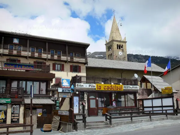
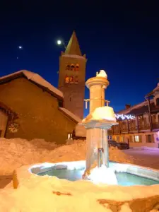
Montgenèvre is a charming village in the Southern Alps located on a pass close to the Italian border. The town is made up of two flowery villages: Montgenèvre located on the pass and the village of Alberts, nestled at its feet at the entrance to the Clarée valley.
At 1860 meters above sea level, Montgenèvre, whose origins date back to antiquity, retains mountain specificities while benefiting from the exceptional sunshine of the Mediterranean climate (300 days of sunshine per year): pure and invigorating air, peaks, flowery mountain pastures, high altitude lakes, torrents and forests for all lovers of nature and beautiful landscapes.
Montgenèvre is in the PACA region and as such remains easily accessible from the south. Due to the quality of its transport infrastructure, particularly on the Italian side, the cross-border pass of Montgenèvre is completely opened up thanks to the proximity of the Chambéry/Modane motorway and the nearby Fréjus alpine tunnel, as well as the TGV station. Italian road from Oulx, barely 15 km away (Paris-Oulx in 4h30!). Thus it becomes one of the most accessible resorts in the Southern Alps from the north.
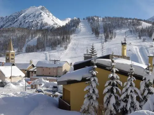
The village is bordered by two slopes: Le Chalvet and Les Gondrans. On the south side, the forests are mainly composed of mountain pines, very Mediterranean vegetation. The north side or ubac (Gondrans side) whose slopes descend from the Chenaillet or the Rocher de l'Aigle, is wetter. The forest, mainly composed of larches and cembro pines, is ideal for seeking coolness in summer. Torrents gush here and there.
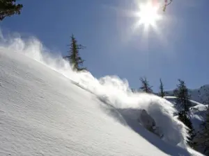
The top of the pass is the watershed line. On the slope of the Gondrans, in the middle of the mountain meadows, flow the Sources of the Durance, enhanced by a discovery route; on the other, the Sources of the Dora, a torrent located in the middle of the forest, whose waters flow into the Po. Most peaks around Montgenèvre rise to 2700 m; Chaberton, the highest point in the town, rises to 3131 m.
At the pass, the two lakes as well as the 18-hole international golf course, built about fifteen years ago, adorn an open landscape.