


Favourite
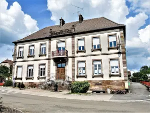
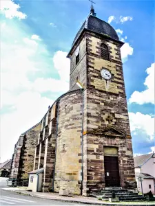
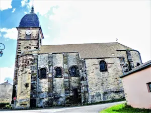
Luxeuil-les-Bains


| Municipality | Meurcourt |
|---|---|
| Postcode | 70300 |
| Latitude | 47.7725460 (N 47° 46’ 21”) |
| Longitude | 6.2322290 (E 6° 13’ 56”) |
| Altitude | From 238m to 409m |
| Surface area | 11.89 km² |
| Population | 349 inhabitants |
| Density | 29 inhabitants/km² |
| Prefecture | Vesoul (22 km, 24 min) |
| Insee code | 70344 |
| Intercommunality | CC du Triangle Vert |
| Department | Haute-Saône |
| Territory | Franche-Comté |
| Region | Burgundy-Franche-Comté |
| Velorcey | 2 km (3 min) |
|---|---|
| La Villedieu-en-Fontenette | 3.1 km (6 min) |
| Équevilley | 4.2 km (7 min) |
| Abelcourt | 4.9 km (5 min) |
| Conflans-sur-Lanterne | 5.6 km (9 min) |
| Neurey-en-Vaux | 5.9 km (7 min) |
| Mailleroncourt-Charette | 6.1 km (9 min) |
| Sainte-Marie-en-Chaux | 6.8 km (8 min) |
| Villers-lès-Luxeuil | 7.5 km (10 min) |
| Vilory | 7.9 km (14 min) |
| Éhuns | 7.9 km (10 min) |
| Le Val-Saint-Éloi | 8.1 km (11 min) |
| La Villeneuve-Bellenoye-et-la-Maize | 8.5 km (15 min) |
| Breuches | 8.5 km (10 min) |


| Last name | Activity type | Rate | City |
|---|---|---|---|
 | Culture and education | 11 € | Le Thillot (41 km) |
 | Arts and Crafts | 12 € | Basse-sur-le-Rupt (46 km) |
| Last name | Outing type | Difficulty | Duration | Departure municipality |
|---|---|---|---|---|
 | Hike | Intermediate | 3:30 | Saint-Rémy-en-Comté (12.4 km) |
 | Hike | Easy | 1:05 | Ferrières-lès-Scey (21 km) |
 | Hike | Easy | 2:05 | Scey-sur-Saône-et-Saint-Albin (23 km) |
 | Hike | Intermediate | 2:10 | La Vôge-les-Bains (25 km) |
 | Hike | Athletic | 5:05 | Fretigney-et-Velloreille (38 km) |