Favourite
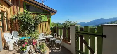
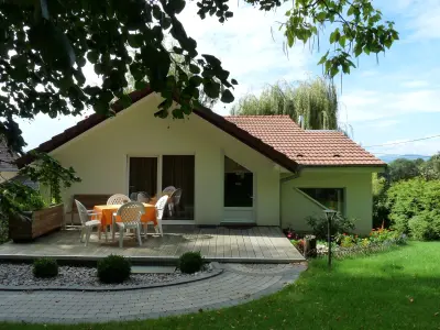
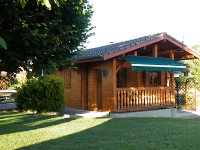
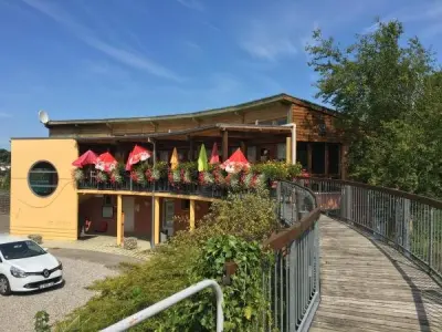
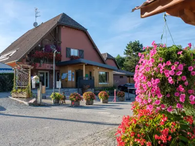
The Belfort Sundgau


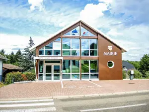
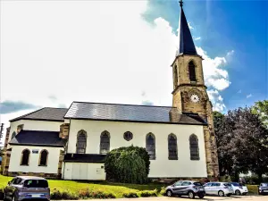
| Municipality | Manspach |
|---|---|
| Postcode | 68210 |
| Latitude | 47.6166140 (N 47° 36’ 60”) |
| Longitude | 7.1050550 (E 7° 6’ 18”) |
| Altitude | From 304m to 387m |
| Surface area | 5.33 km² |
| Population | 548 inhabitants |
| Density | 102 inhabitants/km² |
| Prefecture | Colmar (69 km, 56 min) |
| Insee code | 68200 |
| Intercommunality | CC Sud Alsace Largue |
| Department | Haut-Rhin |
| Territory | Alsace |
| Region | Great East |
| Altenach | 1.5 km (2 min) |
|---|---|
| Dannemarie | 2.2 km (3 min) |
| Retzwiller | 2.8 km (6 min) |
| Romagny | 3.4 km (5 min) |
| Saint-Ulrich | 3.4 km (6 min) |
| Mertzen | 3.9 km (5 min) |
| Wolfersdorf | 4.3 km (7 min) |
| Gommersdorf | 4.4 km (9 min) |
| Strueth | 4.4 km (6 min) |
| Elbach | 4.7 km (10 min) |
| Magny | 5 km (6 min) |
| Fulleren | 5.3 km (7 min) |
| Ballersdorf | 5.5 km (7 min) |
| Traubach-le-Bas | 5.7 km (8 min) |


| Last name | Activity type | Rate | City |
|---|---|---|---|
 | Culture and education | 11 € | Le Thillot (39 km) |
 | Arts and Crafts | 12 € | Basse-sur-le-Rupt (49 km) |
| Last name | Outing type | Difficulty | Duration | Departure municipality |
|---|---|---|---|---|
 | Hike | Intermediate | 1:00 | Burnhaupt-le-Haut (13 km) |
 | Village visit | Easy | 1:00 | Masevaux-Niederbruck (19.2 km) |
 | Hike | Intermediate | 3:00 | Masevaux-Niederbruck (19.6 km) |
 | Hike | Intermediate | 1:05 | Thann (22 km) |
 | Hike | Intermediate | 2:30 | Kirchberg (23 km) |