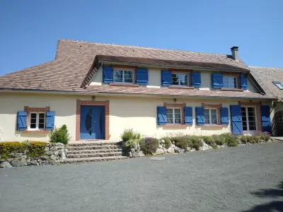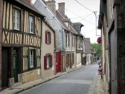


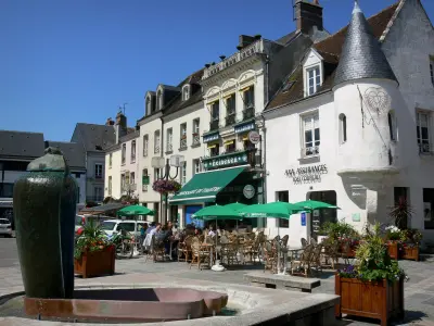

Favourite
Verneuil-sur-Avre
| Municipality | Les Menus |
|---|---|
| Postcode | 61290 |
| Latitude | 48.5247800 (N 48° 31’ 29”) |
| Longitude | 0.9330910 (E 0° 55’ 59”) |
| Altitude | From 198m to 229m |
| Surface area | 11.81 km² |
| Population | 244 inhabitants |
| Density | 20 inhabitants/km² |
| Prefecture | Alençon (75 km, 1:09) |
| Insee code | 61274 |
| Intercommunality | CC des Hauts du Perche |
| Department | Orne |
| Territory | Perche |
| Region | Normandy |
| Le Pas-Saint-l'Homer | 4.5 km (7 min) |
|---|---|
| Manou | 5.1 km (6 min) |
| Meaucé | 7.5 km (10 min) |
| La Madeleine-Bouvet | 8.3 km (11 min) |
| Fontaine-Simon | 8.6 km (9 min) |
| Moutiers-au-Perche | 9.2 km (15 min) |
| La Loupe | 9.4 km (13 min) |
| Vaupillon | 9.8 km (15 min) |
| Senonches | 10.2 km (13 min) |
| Belhomert-Guéhouville | 10.6 km (12 min) |
| Les Ressuintes | 11.1 km (13 min) |
| Saint-Éliph | 11.6 km (14 min) |
| La Ferté-Vidame | 12.6 km (13 min) |
| La Framboisière | 12.8 km (15 min) |
| Last name | Activity type | Rate | City |
|---|---|---|---|
 | Sports sensations | 22 € to 75 € | Fontaine-Simon (6.6 km) |
| Last name | Outing type | Difficulty | Duration | Departure municipality |
|---|---|---|---|---|
 | Hike | Intermediate | 2:45 | Nonvilliers-Grandhoux (27 km) |
 | Hike | Easy | 3:25 | Saint-Longis (47 km) |
 | Hike | Easy | 2:50 | Mouettes (52 km) |
 | Hike | Easy | 3:15 | Anet (52 km) |
 | All-terrain bike itinerary | Easy | 1:45 | Anet (52 km) |