


Favourite
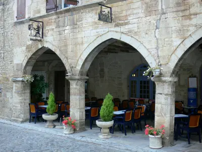
Loc-Dieu Abbey
| Municipality | Laramière |
|---|---|
| Postcode | 46260 |
| Latitude | 44.3520890 (N 44° 21’ 8”) |
| Longitude | 1.8787860 (E 1° 52’ 44”) |
| Altitude | From 323m to 415m |
| Surface area | 22.08 km² |
| Population | 358 inhabitants |
| Density | 16 inhabitants/km² |
| Prefecture | Cahors (47 km, 46 min) |
| Insee code | 46154 |
| Intercommunality | CC Ouest Aveyron Communauté |
| Department | Lot |
| Territories | Midi-Pyrénées, Quercy |
| Region | Occitanie |
| Vidaillac | 5.7 km (12 min) |
|---|---|
| Puyjourdes | 7.2 km (15 min) |
| Beauregard | 7.9 km (12 min) |
| Martiel | 8.8 km (12 min) |
| Promilhanes | 9.1 km (15 min) |
| Savignac | 9.4 km (14 min) |
| Saint-Jean-de-Laur | 9.6 km (18 min) |
| Vailhourles | 10.2 km (15 min) |
| Puylagarde | 10.9 km (18 min) |
| Saillac | 11.1 km (18 min) |
| La Rouquette | 12.6 km (23 min) |
| Limogne-en-Quercy | 13.3 km (20 min) |
| Saint-Projet | 13.3 km (18 min) |
| Varaire | 14.1 km (23 min) |
| Last name | Activity type | Rate | City |
|---|---|---|---|
 | Local flavours | 7 € to 12 € | Limogne-en-Quercy (10.1 km) |
 | Nature and the great outdoors | 25 € to 60 € | Laburgade (27 km) |
 | Nature and the great outdoors | 20 € | Clairvaux-d'Aveyron (43 km) |
| Last name | Outing type | Difficulty | Duration | Departure municipality |
|---|---|---|---|---|
 | Hike | Intermediate | 3:15 | Limogne-en-Quercy (9.8 km) |
 | All-terrain bike itinerary | Intermediate | 1:50 | Caylus (15.7 km) |
 | Hike | Easy | 1:30 | Caylus (15.7 km) |
 | Village visit | Easy | 3:00 | Bor-et-Bar (23 km) |
 | Hike | Easy | 1:30 | Capdenac-Gare (27 km) |


