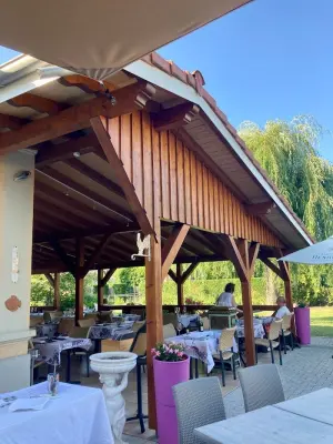
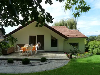
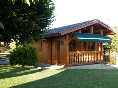
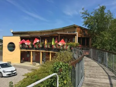
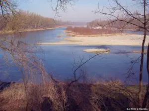
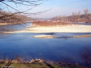
Hiking on the island of the Rhine.


Favourite


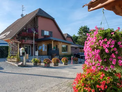
| Municipality | Kembs |
|---|---|
| Postcode | 68680 |
| Latitude | 47.6883620 (N 47° 41’ 18”) |
| Longitude | 7.5037990 (E 7° 30’ 14”) |
| Altitude | From 222m to 255m |
| Surface area | 16.45 km² |
| Population | 5721 inhabitants |
| Density | 347 inhabitants/km² |
| Prefecture | Colmar (52 km, 35 min) |
| Insee code | 68163 |
| Intercommunality | CA Saint-Louis Agglomération |
| Department | Haut-Rhin |
| Territory | Alsace |
| Region | Great East |
| Niffer | 3 km (4 min) |
|---|---|
| Sierentz | 5.7 km (8 min) |
| Petit-Landau | 6.1 km (7 min) |
| Uffheim | 7.1 km (12 min) |
| Rosenau | 7.1 km (20 min) |
| Waltenheim | 8.5 km (13 min) |
| Geispitzen | 8.6 km (10 min) |
| Hombourg | 8.6 km (9 min) |
| Habsheim | 8.8 km (11 min) |
| Bartenheim | 9.1 km (10 min) |
| Magstatt-le-Bas | 10 km (14 min) |
| Schlierbach | 10.7 km (12 min) |
| Brinckheim | 11 km (13 min) |
| Koetzingue | 11.3 km (17 min) |
Hiking on the island of the Rhine.
| Last name | Outing type | Difficulty | Duration | Departure municipality |
|---|---|---|---|---|
 | Hike | Intermediate | 1:00 | Burnhaupt-le-Haut (27 km) |
 | Hike | Easy | 3:00 | Oberhergheim (32 km) |
 | Hike | Intermediate | 1:05 | Thann (33 km) |
 | Village visit | Easy | 1:00 | Masevaux-Niederbruck (39 km) |
 | Hike | Intermediate | 3:00 | Masevaux-Niederbruck (39 km) |