Garage sale the third weekend of June.


Favourite
| Municipality | Juigné-des-Moutiers |
|---|---|
| Postcode | 44670 |
| Latitude | 47.6786210 (N 47° 40’ 43”) |
| Longitude | -1.1881870 (W 1° 11’ 17”) |
| Altitude | From 52m to 102m |
| Surface area | 24.65 km² |
| Population | 333 inhabitants |
| Density | 13 inhabitants/km² |
| Prefecture | Nantes (69 km, 1:05) |
| Insee code | 44078 |
| Intercommunality | CC Châteaubriant-Derval |
| Department | Loire-Atlantique |
| Region | Pays de la Loire |
| La Chapelle-Glain | 6.9 km (6 min) |
|---|---|
| Saint-Julien-de-Vouvantes | 7.1 km (8 min) |
| Ombrée d'Anjou | 8 km (8 min) |
| Armaillé | 8.4 km (12 min) |
| Carbay | 9.8 km (12 min) |
| Challain-la-Potherie | 12.6 km (13 min) |
| Petit-Auverné | 12.7 km (16 min) |
| Erbray | 13.1 km (17 min) |
| Le Pin | 13.4 km (15 min) |
| Saint-Erblon | 14.2 km (15 min) |
| Senonnes | 15.3 km (17 min) |
| Châteaubriant | 15.7 km (19 min) |
| Grand-Auverné | 16.4 km (21 min) |
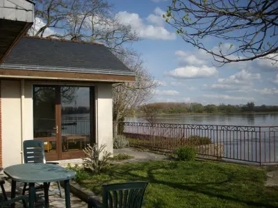
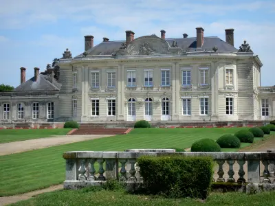
| Monuments | |
|---|---|
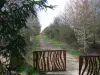
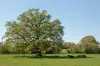
| Natural sites |
Garage sale the third weekend of June.
| Last name | Outing type | Difficulty | Duration | Departure municipality |
|---|---|---|---|---|
 | Cycling itinerary | Easy | 1:15 | Rougé (23 km) |
 | Hike | Easy | 1:45 | Prée-d'Anjou (34 km) |
 | All-terrain bike itinerary | Easy | 1:20 | Ingrandes-Le Fresne sur Loire (37 km) |
 | Hike | Easy | 2:05 | Oudon (38 km) |
 | Hike | Intermediate | 3:00 | Piré-Chancé (40 km) |