


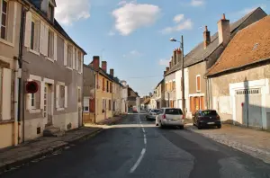
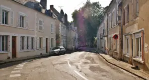
Favourite
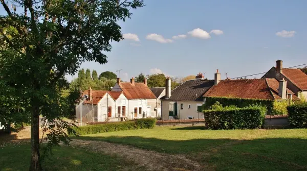
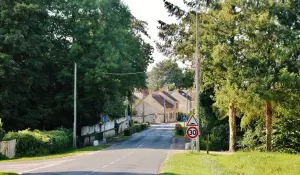
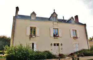
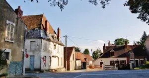
The Church of Saint-Révérien


| Municipality | Héry |
|---|---|
| Postcode | 58800 |
| Latitude | 47.2608380 (N 47° 15’ 39”) |
| Longitude | 3.5816970 (E 3° 34’ 54”) |
| Altitude | From 214m to 321m |
| Surface area | 7.72 km² |
| Population | 74 inhabitants |
| Density | 9 inhabitants/km² |
| Prefecture | Nevers (55 km, 1:03) |
| Insee code | 58133 |
| Intercommunality | CC Tannay-Brinon-Corbigny |
| Department | Nièvre |
| Territories | Burgundy, Nivernais |
| Region | Burgundy-Franche-Comté |
| Moraches | 3.6 km (7 min) |
|---|---|
| Germenay | 3.7 km (6 min) |
| Guipy | 4 km (6 min) |
| Pazy | 6.5 km (10 min) |
| Beaulieu | 6.6 km (11 min) |
| Chaumot | 6.7 km (10 min) |
| Asnan | 6.9 km (11 min) |
| Chitry-les-Mines | 7 km (9 min) |
| Vitry-Laché | 7.6 km (15 min) |
| Neuilly | 8.2 km (13 min) |
| Brinon-sur-Beuvron | 8.3 km (15 min) |
| Grenois | 9.3 km (15 min) |
| Champallement | 9.7 km (16 min) |
| Dirol | 9.9 km (18 min) |


| Last name | Activity type | Rate | City |
|---|---|---|---|
 | Entertainment | 8 € | Chamoux (23 km) |
 | Well-being | 720 € to 3624 € | Nevers (43 km) |
| Last name | Outing type | Difficulty | Duration | Departure municipality |
|---|---|---|---|---|
 | Hike | Intermediate | 3:00 | Corbigny (7.9 km) |
 | Hike | Intermediate | 6:00 | Champlemy (17.6 km) |
 | Mountain bike itinerary | Intermediate | 4:00 | Varzy (18.2 km) |
 | Hike | Easy | 2:00 | Châtillon-en-Bazois (24 km) |
 | Hike | Easy | 1:55 | Vézelay (26 km) |


