Favourite
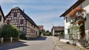
Sundgau
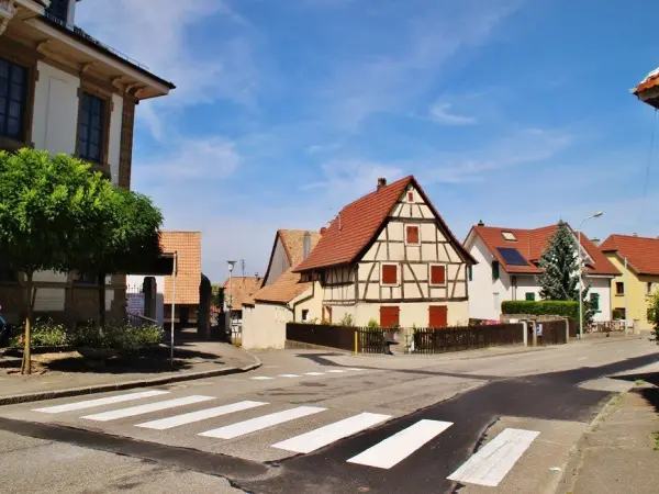


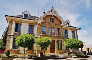
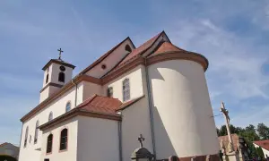
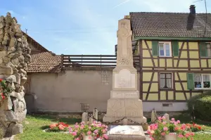
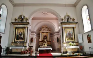
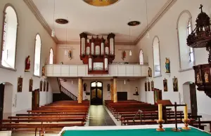
| Municipality | Helfrantzkirch |
|---|---|
| Postcode | 68510 |
| Latitude | 47.6044709 (N 47° 36’ 16”) |
| Longitude | 7.4104440 (E 7° 24’ 38”) |
| Altitude | From 330m to 428m |
| Surface area | 6.23 km² |
| Population | 745 inhabitants |
| Density | 119 inhabitants/km² |
| Prefecture | Colmar (61 km, 47 min) |
| Insee code | 68132 |
| Intercommunality | CA Saint-Louis Agglomération |
| Department | Haut-Rhin |
| Territory | Alsace |
| Region | Great East |
| Kappelen | 3.1 km (5 min) |
|---|---|
| Stetten | 4.1 km (8 min) |
| Ranspach-le-Haut | 4.4 km (8 min) |
| Jettingen | 4.6 km (9 min) |
| Berentzwiller | 4.7 km (8 min) |
| Brinckheim | 4.7 km (7 min) |
| Ranspach-le-Bas | 5.1 km (7 min) |
| Knoeringue | 5.4 km (8 min) |
| Magstatt-le-Bas | 6.1 km (9 min) |
| Franken | 6.2 km (8 min) |
| Bartenheim | 6.5 km (9 min) |
| Michelbach-le-Bas | 6.7 km (9 min) |
| Hundsbach | 6.9 km (10 min) |
| Magstatt-le-Haut | 7.4 km (10 min) |


| Last name | Outing type | Difficulty | Duration | Departure municipality |
|---|---|---|---|---|
 | Hike | Intermediate | 1:00 | Burnhaupt-le-Haut (24 km) |
 | Hike | Intermediate | 1:05 | Thann (32 km) |
 | Village visit | Easy | 1:00 | Masevaux-Niederbruck (36 km) |
 | Hike | Intermediate | 3:00 | Masevaux-Niederbruck (36 km) |
 | Hike | Intermediate | 2:30 | Kirchberg (40 km) |