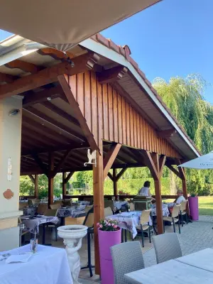
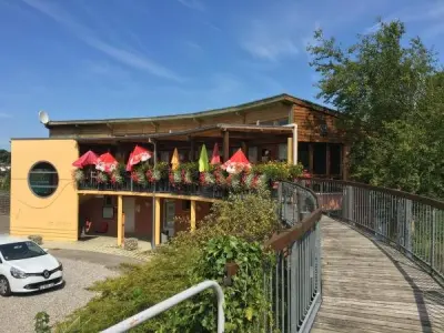
Favourite
Sundgau
| Municipality | Hausgauen |
|---|---|
| Postcode | 68130 |
| Tourism label | ") |
| Latitude | 47.6069890 (N 47° 36’ 25”) |
| Longitude | 7.3169310 (E 7° 19’ 1”) |
| Altitude | From 302m to 407m |
| Surface area | 5.79 km² |
| Population | 388 inhabitants |
| Density | 67 inhabitants/km² |
| Prefecture | Colmar (65 km, 55 min) |
| Insee code | 68124 |
| Intercommunality | CC Sundgau |
| Department | Haut-Rhin |
| Territory | Alsace |
| Region | Great East |
| Hundsbach | 1.5 km (3 min) |
|---|---|
| Schwoben | 1.5 km (2 min) |
| Tagsdorf | 2.4 km (3 min) |
| Emlingen | 2.8 km (5 min) |
| Franken | 3.5 km (5 min) |
| Willer | 3.5 km (5 min) |
| Wittersdorf | 4.1 km (6 min) |
| Heiwiller | 4.1 km (5 min) |
| Jettingen | 5.6 km (9 min) |
| Berentzwiller | 6.1 km (9 min) |
| Obermorschwiller | 6.1 km (16 min) |
| Wahlbach | 6.2 km (8 min) |
| Walheim | 7 km (10 min) |
| Illtal | 7.1 km (10 min) |
| Luemschwiller | 7.8 km (13 min) |
| Last name | Outing type | Difficulty | Duration | Departure municipality |
|---|---|---|---|---|
 | Hike | Intermediate | 1:00 | Burnhaupt-le-Haut (18.6 km) |
 | Hike | Intermediate | 1:05 | Thann (28 km) |
 | Village visit | Easy | 1:00 | Masevaux-Niederbruck (30 km) |
 | Hike | Intermediate | 3:00 | Masevaux-Niederbruck (31 km) |
 | Hike | Intermediate | 2:30 | Kirchberg (34 km) |