


Favourite
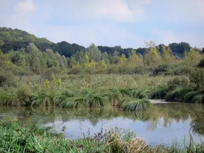
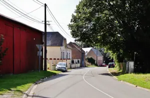
The Somme valley
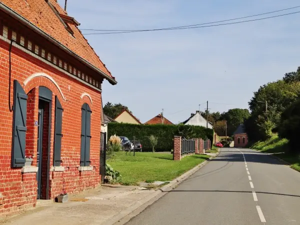


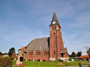
| Municipality | Contalmaison |
|---|---|
| Postcode | 80300 |
| Latitude | 50.0227670 (N 50° 1’ 22”) |
| Longitude | 2.7289570 (E 2° 43’ 44”) |
| Altitude | From 87m to 161m |
| Surface area | 5.67 km² |
| Population | 120 inhabitants |
| Density | 21 inhabitants/km² |
| Prefecture | Amiens (38 km, 45 min) |
| Insee code | 80206 |
| Intercommunality | CC du Pays du Coquelicot |
| Department | Somme |
| Territory | Picardy |
| Region | Hauts-de-France |
| Pozières | 2.1 km (5 min) |
|---|---|
| Ovillers-la-Boisselle | 2.8 km (4 min) |
| Bazentin | 3.1 km (6 min) |
| Fricourt | 3.4 km (6 min) |
| Courcelette | 4.6 km (9 min) |
| Thiepval | 5.2 km (9 min) |
| Carnoy-Mametz | 5.4 km (9 min) |
| Longueval | 5.6 km (7 min) |
| Martinpuich | 5.6 km (9 min) |
| Aveluy | 5.8 km (11 min) |
| Bécordel-Bécourt | 6.1 km (9 min) |
| Albert | 6.8 km (12 min) |
| Authuille | 7.2 km (11 min) |
| Le Sars | 7.3 km (9 min) |


| Last name | Activity type | Rate | City |
|---|---|---|---|
 | Culture and education | 35 € to 55 € | Auxi-le-Château (49 km) |
 | Culture and education | 10 € to 450 € | Lassigny (49 km) |
| Last name | Outing type | Difficulty | Duration | Departure municipality |
|---|---|---|---|---|
 | Hike | Easy | 3:00 | Dernancourt (8.9 km) |
 | Hike | Easy | 3:05 | Beaumont-Hamel (10 km) |
 | Hike | Intermediate | 2:40 | Pas-en-Artois (22 km) |
 | Hike | Easy | 2:35 | Thièvres (23 km) |
| Cycling itinerary | Easy | 3:00 | Blangy-Tronville (27 km) |